Launched in December 2020, the three-year Horizon 2020 project ESRIUM is committed to greener and smarter road use and maintenance with the aim of improving the safety and resource efficiency of traffic on European roads. The key innovation is a digital map of road surface damage and wear. Experts from research and industry from eight European countries (AT, IT, FI, HU, ESP) have set themselves the goal of developing accurate, digital maps of road surface damage and road wear. These maps will contain unique information for road operators to improve the planning of resource-efficient and environmentally friendly road maintenance and provide intelligent route recommendations for automated vehicles.
DIGITAL delivers latest technologies for safety on European roads
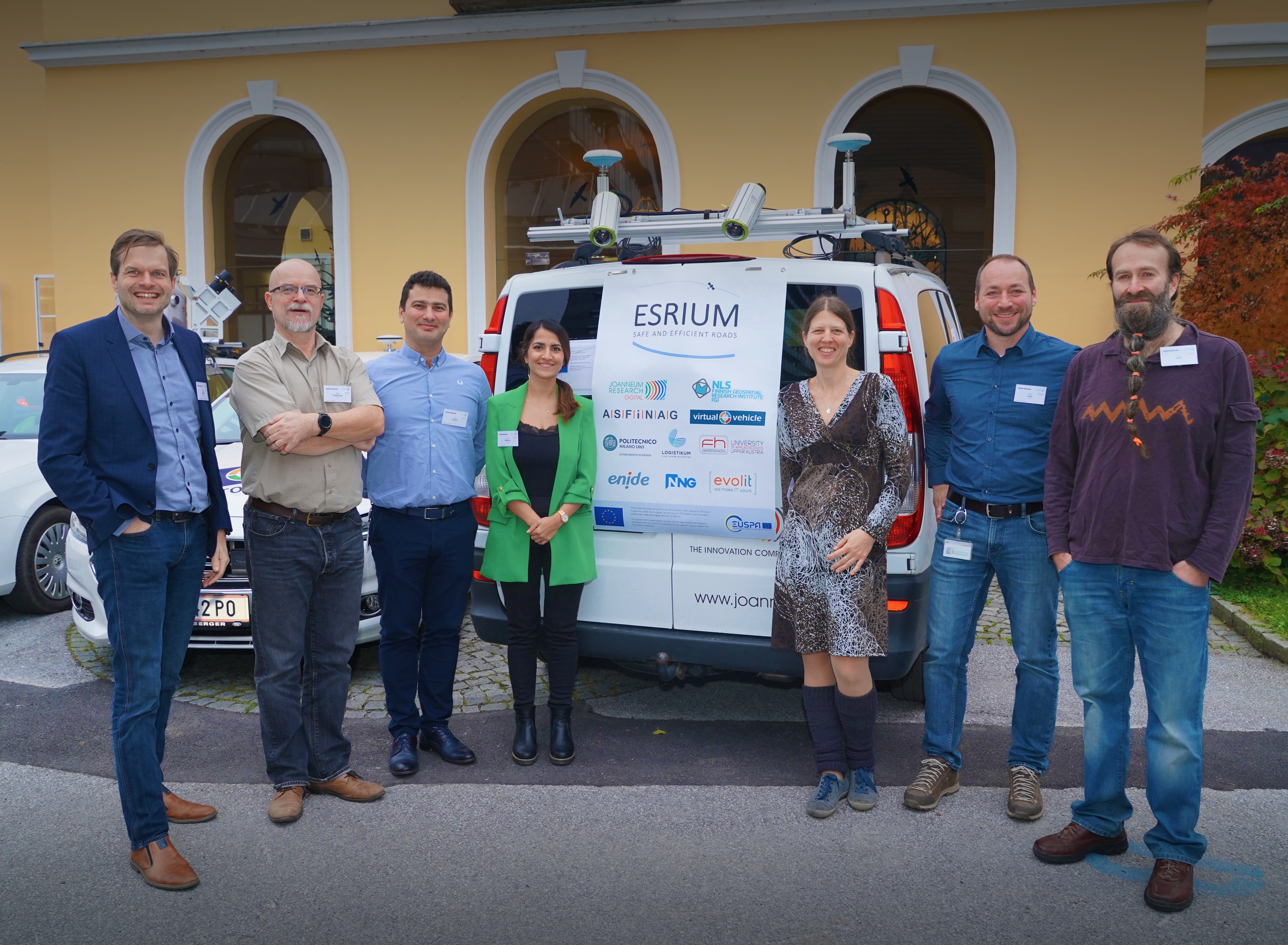
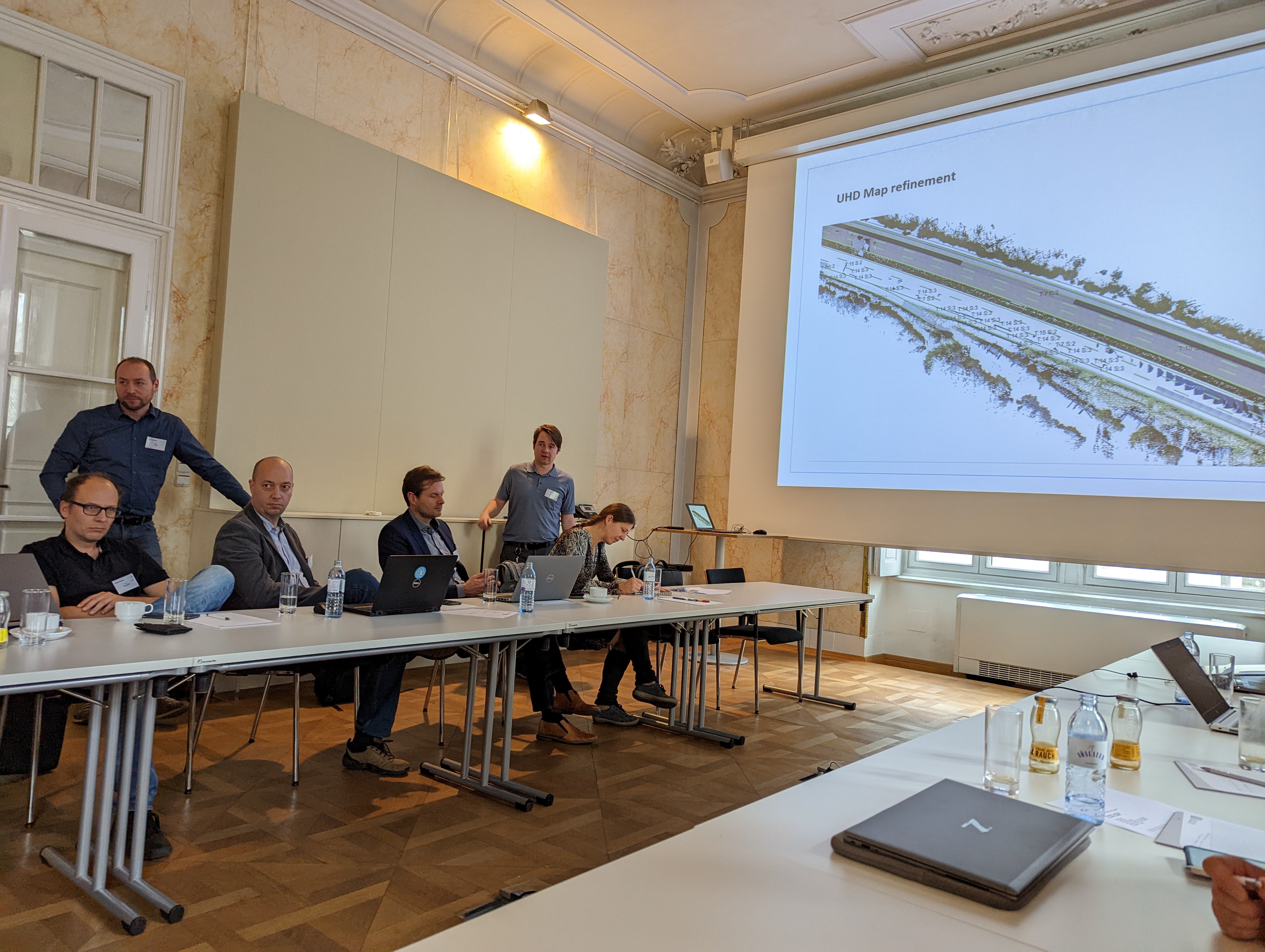
The research groups Machine Vision Applications, Remote Sensing and Geoinformation and Space Technology and Communication Technologies of JOANNEUM RESEARCH DIGITAL are working closely together for the ESRIUM project and have developed a system that combines data from a wide range of sensors, cameras and EGNSS-based positioning devices. In the course of the project so far, the researchers have developed a low-cost sensor platform (roadwear mapping system) with which road surfaces can be recorded with high precision. The image data generated in this way, together with precise georeferencing, serve as a basis for the detection and classification of road damage (content from the last project year). Furthermore, a road condition map will be created by the experts and an all-encompassing data management platform will be set up, which will form the interface to all sub-aspects of the project.
On 28 and 29 November, the fifth consortium meeting took place in Graz, which summarised the goals already achieved and initiated the start of the last project year. The programme was led by project leader Matthias Rüther (Director of JOANNEUM RESEARCH DIGITAL). In addition to presentations of the progress made in the individual work packages and lively discussions about details of the next steps, an exploitation workshop was also held in order to achieve optimal utilisation of the results after the end of the project. It was the first face-to-face meeting since the start of the project and the individual sessions with the 24 participants (from eight of the nine partners) were correspondingly dynamic and productive.
This project has received funding from the European Union Agency for the Space Programme under the European Union’s Horizon 2020 research and innovation programme under grant agreement No 101004181.
All Photos: VIRTUAL VEHICLE / W. Wachmann