What is behind ESERCOM-D?
Straßenschäden und Hindernisse sind nicht nur eine Belastung für die Infrastruktur, sondern auch ein Sicherheitsrisiko für Verkehrsteilnehmer*innen. ESERCOM-D setzt genau hier an: Durch hochpräzise Überwachung und Kartierung können Straßenverschleiß und Hindernisse frühzeitig erkannt werden. Dies ermöglicht nicht nur eine effizientere Planung von Instandhaltungsmaßnahmen, sondern auch eine direkte Kommunikation zwischen Straßenbetreibern und Verkehrsteilnehmern.
Thanks to the latest EGNSS technology, road users – whether human drivers or autonomous vehicles – can be informed about road conditions in real time. This means warnings of potholes, construction sites or other obstacles before they become a problem. In this way, ESERCOM-D not only increases the efficiency of maintenance, but also improves safety on our roads.
Focus on automation and standardisation
ESERCOM-D builds on the successes of ESRIUM and takes the technologies to the next level. An important step towards market readiness has been taken with the development of a demonstrable service (TRL 8). The project automates the entire process chain – from monitoring road conditions to intelligent decision-making. At the same time, the use of EGNSS in the automotive and road construction industries is being promoted. The aim is to set international standards and ensure broad acceptance of the developed solutions.
Why is this important?
Road infrastructure is the backbone of our mobility. Optimising its maintenance not only saves costs, but also reduces environmental pollution and improves the safety of all road users. Through comprehensive tests in real-world settings, ESERCOM-D will demonstrate how its technologies work in practice and deliver measurable results. The focus is on international standardisation to promote the broad deployment of the developed solutions. The project partners are determined to achieve a sustainable impact with ESERCOM-D. Every detail is taken into account, from precise proof of concept to the evaluation of user-friendliness.
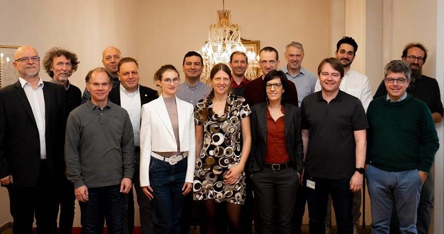
Thanks to our project partners for coming in such large numbers. We look forward to working with you:
Virtual Vehicle Research GmbH (VIF), ASFINAG Autobahnen- und Schnellstraßen-Finanzierungs-Aktiengesellschaft (ASF), Finnish Geospatial Research Institute (FGI) of the National Land Survey (NLS) of Finland, FH OO FORSCHUNGS & ENTWICKLUNGS GMBH (FHO), Evolit Consulting GmbH (EVO), ENIDE SOLUTIONS .S.L (ENI), Motere Mobility Technology Research Noneprofit Kft. (MTR), Politecnico di Milano (POL)