- About us
- Research fields
- DIGITAL – Institut für Digitale Technologien
- MATERIALS – Institut für Sensorik, Photonik und Fertigungstechnologien
- ROBOTICS – Institut für Robotik und Flexible Produktion
- COREMED – Zentrum für Regenerative Medizin und Präzisionsmedizin
- HEALTH – Institut für Biomedizinische Forschung und Technologien
- LIFE – Institut für Klima, Energiesysteme und Gesellschaft
- POLICIES – Institut für Wirtschafts-, Sozial und Innovationsforschung
- Business areas
- Products & services
- Research infrastructure
- Beteiligungen
- Career
- Aktuelles
- Publications
- Kontakt zu uns



Space4Wind
RUNNING TIME:
11/2023
—
01/2026
Total project duration:
27 Monate
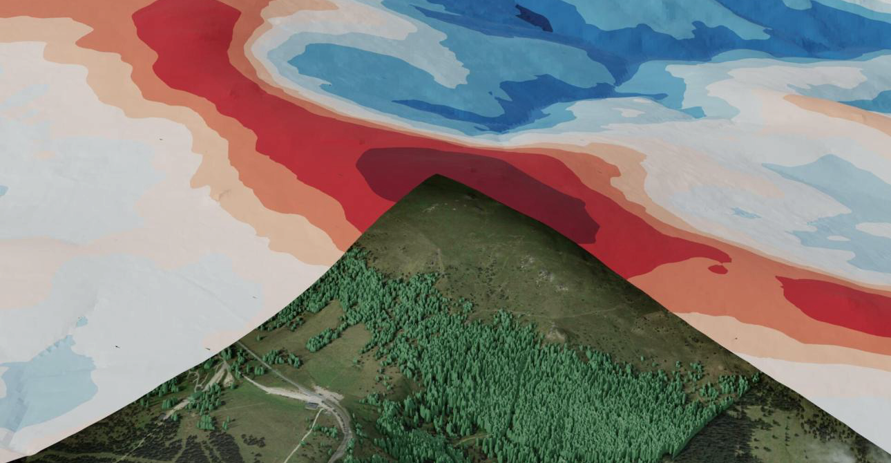
Bild: Rheologic / JOANNEUM RESEARCH, KI generiert
The project
How much wind blows at a potential wind farm site in complex terrain? Space4Wind has developed an automated workflow designed to answer this question worldwide using freely available data. To this end, Earth observation data is combined with high-resolution computational fluid dynamics (CFD) simulations: Terrain and surface roughness are derived from digital terrain and surface models, AI-based land cover classification and vegetation heights, and a 3D simulation model is generated from these without any manual intervention. Global weather data (ECMWF ERA5) are used to drive the simulation; local wind measurements for calibration are not required.
The method was validated using measurement data from the Austrian sites of the Handalm Wind Farm (Styria) and the Lichtenegg Energy Research Park (Lower Austria). A correction step newly developed as part of the project, based on a local wind model, brought the simulation results within a range of accuracy suitable for practical engineering applications and decision-making.
Our activities in the project
The focus of JOANNEUM RESEARCH’s work was on deriving surface roughness from remote sensing data – a key input parameter for flow simulation. For land cover classification using very high-resolution optical data, the AI methods developed in the ASAP project’s AI4LULC component were further refined: additional training data and significantly expanded data augmentation have made the model more robust in the face of different sensors and imaging conditions.
In order to make object and vegetation heights available worldwide, research was carried out into an AI-based filter that derives normalised digital surface models (nDSMs) from the Copernicus surface model (COPDEM30) and was trained using laser scanning data from Austria and France. The results outperformed the reference product COPDEM-FABDEM, but did not yet achieve the accuracy required for flow simulation – the freely available vegetation height data from Meta is therefore used in the workflow. In addition, Sentinel-1 radar time series were analysed to better distinguish between critical land cover classes such as forest and agricultural land.
By cross-referencing land cover, elevation data and radar data, a quality forecast is generated which indicates the reliability of the roughness estimate in the form of a ‘traffic light map’ or a detailed percentage map. The geodata is processed using the JR software RSG (Remote Sensing Software Package Graz), which has been fully integrated as a Docker container into the CFD workflow of the consortium leader, Rheologic: based on coordinates and the desired area size, RSG automatically generates the terrain and vegetation layers for the simulation.

Research groups
Downloads
Customers
Project partners
Rheologic GmbH (Konsortialführer)
Project details
From satellite data to wind profiles
Space4Wind combines remote sensing and computational fluid dynamics. All that is required as input is the latitude, longitude and hub height of the target site; the process chain then runs automatically without any manual intervention. Local wind measurements for calibration are not required:
- Terrain: Copernicus terrain model COPDEM30 and FABDEM (elevation model excluding forests and buildings)
- Surface: AI-based land cover classification and vegetation heights as a basis for surface roughness
- Wind: Wind speeds and altitude profiles from ECMWF ERA5 data as inflow conditions
- 3D model: a circular terrain model with a diameter of 10 km and a high-resolution core zone of 2 km, in which forest is represented as a porous zone
- Simulation: transient flow simulation using OpenFOAM (LES-based IDDES turbulence model) for 16 wind direction sectors at the Vienna Scientific Cluster (VSC-5)
In order to accurately capture backflow zones near the ground, the grid resolution was increased from 20 m to 16 m compared with the original plan, resulting in a resolution of around 1.5 m near the ground.
Surface roughness from space
- Land cover: AI classification based on very high-resolution optical data, robust across different sensors thanks to additional training data and enhanced augmentation
- Elevation data: AI filter for deriving nDSM from COPDEM30; better than COPDEM-FABDEM, but not yet accurate enough for flow simulation – more training data would be the key factor
- Radar: Sentinel-1 time series for 2023 and 2024 (ascending and descending orbits) as multi-temporal statistics for distinguishing critical land cover classes
- Quality forecast: Reconciliation of all three data sources to produce a traffic-light or percentage map of reliability
Validation at two Austrian sites
Validation was carried out at the Handalm wind farm (measurement height 78 m above ground level, measurement data provided by Energie Steiermark) and at the Lichtenegg Energy Research Park (19 m above ground level, measurement data provided by the Vienna University of Applied Sciences (FH Technikum Wien)). Prior to this, simulations for other sites in complex terrain – including locations in the USA, Denmark (Bolund) and Scotland (Askervein) – were compared with measurement data. Numerical optimisations reduced the computational effort in the most resource-intensive step by 55 per cent. As a result, it was possible to carry out two complete, high-resolution validations, each comprising 16 wind sectors, instead of the one originally planned.
A key finding: the global ERA5 point data are not suitable for use as inflow conditions without modification – the simulated mean wind speeds were initially significantly lower than the measured values. As a solution, a novel local wind model (dynamic downscaling) was developed, which is driven by hourly ERA5 data over a period of one year (125 m resolution, covering an area of around 600 km²) and derives a correction factor from this. Following this correction, the deviation in mean wind speed was −3.8 per cent (Handalm) and −8.5 per cent (Lichtenegg), whilst that for power density was −17.6 per cent and −26.3 per cent respectively.
The results are described in detail in the open-access publication ‘Fully Automated Wind Site Assessment in Complex Terrain Using Satellite Data and Global Circulation Models’ (Remote Sensing, 2026).
In addition, a global map with a 0.5° grid was produced, which, based on the variability of the ERA5 data, shows where the correction method is likely to be reliably applicable.
Funding organisation

Projektbeteiligte
Related projects
SHAPING THE FUTURE, TOGETHER
JOANNEUM RESEARCH provides innovation and technology services in the field of applied research. As a research company working on behalf of various federal provinces and regions in Austria, our expertise shapes the development of our modern society and economy – sustainably, and always with a focus on people. As a multidisciplinary team working in a flexible set-up that fosters innovation, we always live up to the highest social and scientific standards.