- About us
- Research fields
- DIGITAL – Institut für Digitale Technologien
- MATERIALS – Institut für Sensorik, Photonik und Fertigungstechnologien
- ROBOTICS – Institut für Robotik und Flexible Produktion
- COREMED – Zentrum für Regenerative Medizin und Präzisionsmedizin
- HEALTH – Institut für Biomedizinische Forschung und Technologien
- LIFE – Institut für Klima, Energiesysteme und Gesellschaft
- POLICIES – Institut für Wirtschafts-, Sozial und Innovationsforschung
- Business areas
- Products & services
- Research infrastructure
- Beteiligungen
- Career
- Aktuelles
- Publications
- Kontakt zu uns


SINCA
RUNNING TIME:
11/2013
—
11/2018
Total project duration:
5 Years
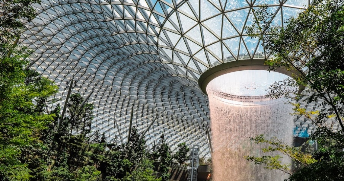
Pexels: Malerba
The project
Singapore is a partner to the United Nations Framework Convention on Climate Change (UNFCCC) and regularly reports on greenhouse gas emissions and removals in various sectors through its National Communications and Biennial Update Reports. Singapore's National Parks Authority provides statistics in the Land Use, Land-Use Change and Forestry (LULUCF) sector and has commissioned the Austrian Agency for Forest Development, Management and International Co-operation (ANRICA) to establish a national greenhouse gas monitoring, reporting and verification (MRV) system. The project partners involved cover all aspects from remote sensing, biomass and soil analyses to IPCC reporting.
Our activities in the project
In this context, our experts were responsible for collecting large-scale and area-wide activity data using remote sensing, image analysis and geoinformation methods.
Research groups
Downloads
Customers
National Parks Board (NParks) Singapore
Project partners
ANRICA
Bundesforschungszentrum für Wald (BFW)
Umweltbundesamt (UBA)
Project details
The annual observation of land cover, land use (LU) and its change (LUC), which are collected from different satellite data, serves as important information for the estimation of carbon stock and emission. The historical development required to analyse development trends is based on spot image mosaics (HR) from 1989 to 2014 with a ground resolution between 5m and 20m. Current years are mapped using very high resolution Pléiades data (VHR) with 0.5m resolution, which meet the requirements of the country due to its very heterogeneous spatial land use distribution and the high dynamics of land use change.
Around a dozen IPCC-compatible land use categories within four land cover classes are differentiated using a jointly developed set of rules. Detailed reference data was collected by means of fieldwork and supplemented by the interpretation of very high-resolution satellite data and additional information. They served as the basis for the classification of annual land use changes. The segmentation of radiometrically calibrated satellite image mosaics, the classification of land cover and, based on this, a rule-based classification of land use and land use change were selected as proven and comprehensible methods.
The land use maps from 2015 to 2017 have been significantly improved by using Pléiades data with a much higher resolution of 0.5m. While the definition of land use categories remains consistent over the entire time series, the boundaries of land use areas are much more accurate for current and future mapping. As an additional innovative aspect, 3D information was obtained from stereo satellite pairs, which significantly improved the differentiation of low and high vegetation categories.
The challenge posed by the different resolutions and accuracies of the historical and current data bases was solved by innovative methods based on overlapping mapping of both Spot and Pléiades data for the two years 2014 and 2015. The result is both land use maps and land use change statistics for each year of the entire time series, which provide an essential basis for carbon reporting.
This application is probably one of the few in which very high-resolution satellite data is used across the board for reporting on carbon emissions and emissions. Other applications include the visualisation of Singapore's "City in a Garden" initiative, ecological modelling, 3D visualisation, and urban tree height mapping.
Funding organisation
Projektbeteiligte
Related projects
SHAPING THE FUTURE, TOGETHER
JOANNEUM RESEARCH provides innovation and technology services in the field of applied research. As a research company working on behalf of various federal provinces and regions in Austria, our expertise shapes the development of our modern society and economy – sustainably, and always with a focus on people. As a multidisciplinary team working in a flexible set-up that fosters innovation, we always live up to the highest social and scientific standards.