



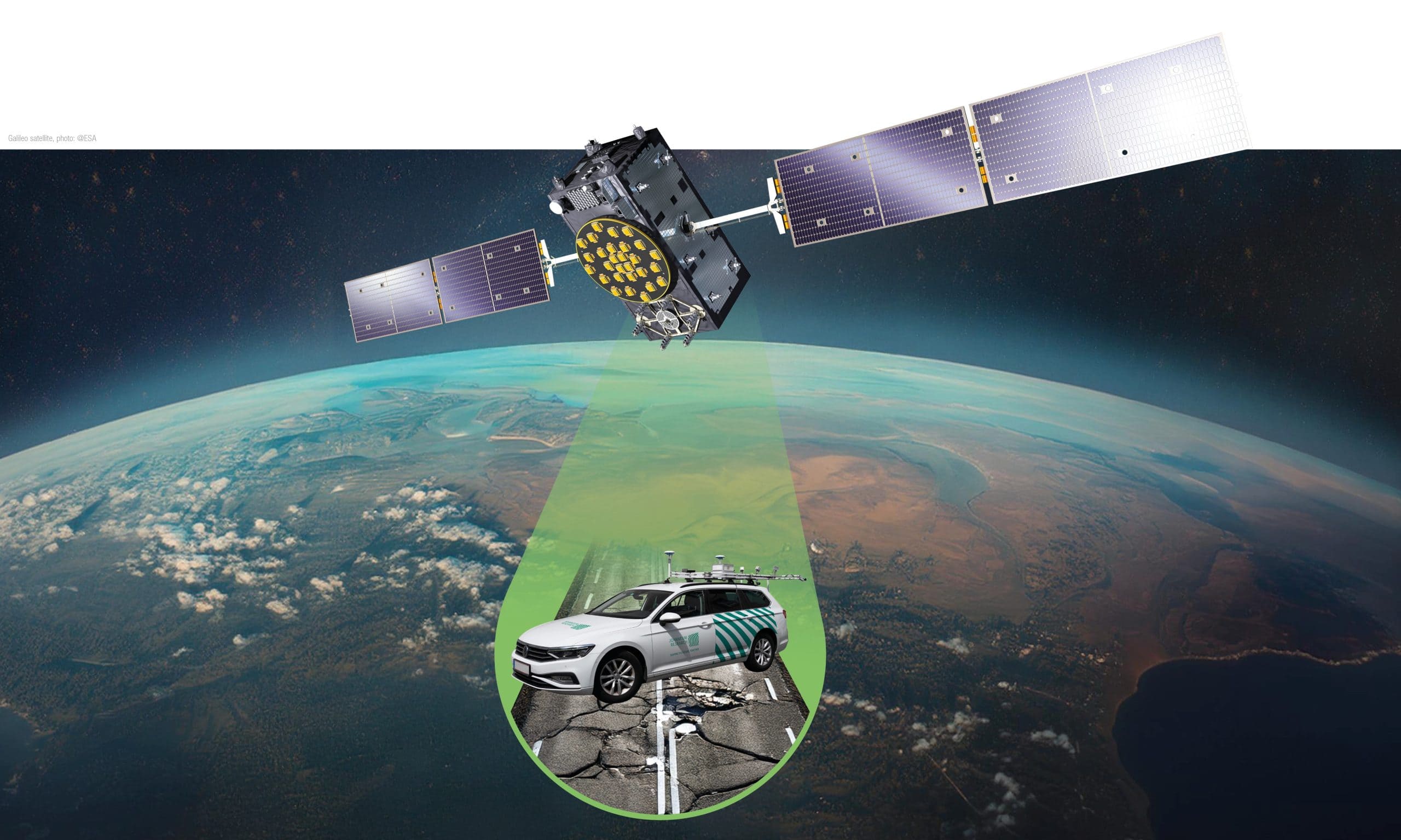
As part of the ERSERCOM-D project, JOANNEUM RESEARCH is responsible for managing the overall solution and is leading the technical development for the collection, mapping and analysis of road condition data. To this end, it is developing a cost-effective sensor platform and carrying out extensive data collection on motorways and country roads. The collected data is processed and converted into a digital twin to detect road damage with precision. Highly accurate and reliable EGNSS-based positioning plays a central role in this process – both in the data collection by the survey vehicle and in the localisation of road damage and the transmission of information to autonomous vehicles.
Project details
Road wear is a widespread problem and places a significant financial burden on infrastructure maintenance. The early and detailed detection and mapping of road wear can reduce these costs whilst extending the service life of road surfaces. Building on the preliminary project ESRIUM (TRL 6), which was successfully completed in November 2023, the consortium has identified the next necessary technological and standardisation steps required for market entry. The overarching aim of ESERCOM-D is to facilitate standardisation efforts through the implementation of a highly advanced system (TRL 8) that promotes more environmentally friendly and intelligent road use, optimises road maintenance and enhances road safety. In doing so, the project demonstrates the automation of the entire chain, from road condition monitoring through to intelligent decision-making.
Moreover, the project seeks to establish, contact and create liaison with key standardization bodies and expand the utilization of EGNSS in the road and automotive industry. The goals emphasize the importance of aligning developments with international industry-accepted certification and standardization schemes.
Through comprehensive testing and validation in real-life environments, ESERCOM-D aims to provide proof of concept demonstrators for standardization concepts, ensuring the sustainable impact and widespread acceptance of its outcomes. The project's commitment to transparency, user acceptance assessment, and fostering sustainable impact underscores its excellence in addressing current challenges and pushing the boundaries of the state of the art in road wear assessment and maintenance.
Objectives of the project:
- Identification of standardization gaps, linkage to the relevant data value chain and derivation of standardization concepts
- Construction of the road wear sensor system at TRL 7
- Digital twin case study at one road operator
- Development of EGNSS-based localization systems providing accurate, reliable and authenticated position
- Assessment of the added value of this solution
The implementation is based on three specific use cases:
- UseCase 1: Wear-map content provision
As part of the predecessor project, ESRIUM, a prototype for road surveying and damage mapping had already been developed. The system detects road damage using vehicles fitted with specialised hardware, with centimetre-level accuracy. The data collected is overlaid onto the road network. The result is a map of road wear and tear. The road damage entries on the map contain information on the type of damage, its severity and its location. This map is made available to various users, such as navigation service providers, OEMs or road operators.
- Use Case 2: GNSS-corrections provision
Road operators provide end users with EGNSS correction data to improve the positioning accuracy of vehicles on motorways and rural roads to within a few centimetres. The data is made available via various communication channels, either via C-ITS, directly via an EGNSS satellite or via the internet. To meet the high security requirements for data transmission, the position data is transmitted using Galileo’s OSNMA.
- Use Case 3: Infrastructure information & support
A traffic management system uses road wear data and incident related data (e.g., broken vehicle on the road) from the legacy traffic infrastructure to provide lane-specific warnings and recommendations to vehicle drivers via C-ITS. The information is generated automatically and and in near real-time based on the different data sources. The output of the data processing are safety-related messages or recommendations on changing the lane or the in-lane lateral offset. Drivers adapt their behaviour on the basis of the information provided.
ESERCOM-D: First cross-border test
During the first phase of the project (October 2024–March 2026), the Road Wear Sensor System (RWSS) was completed and extensively tested on the Austrian motorway network. In addition, its performance was also assessed in suburban areas and on rural roads. The system itself was revised and has now reached TRL7 (system prototype demonstrated in an operational environment).
To demonstrate its operational capability beyond Austria’s borders, we were permitted to test the platform on the road network of a member of the project’s expert advisory board. This enabled the team to verify the stability of all connections when switching to a different wireless communication network.
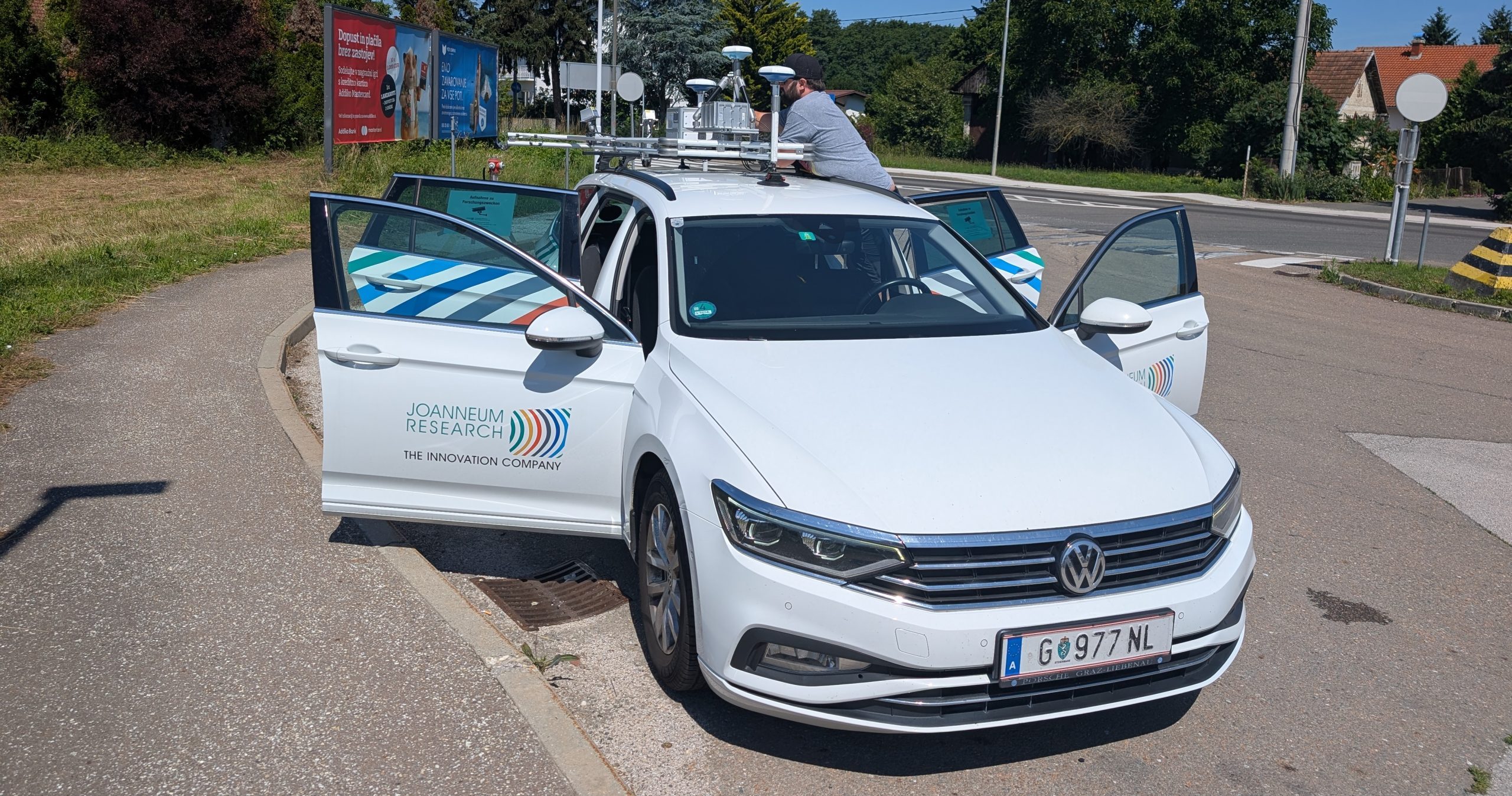
During a 165 km journey, 600 GB of data was collected, comprising camera data, LiDAR data and position data. To test the accuracy of the position data from the integrated, cost-effective EGNSS module, a high-end system was operated in parallel. The data was processed and a Web Map Tile Service (WMTS) server was configured so that the results (images, point clouds, detected damage, etc.) could be easily viewed in a web browser.
The next step is to compare the results from the two EGNSS modules in order to demonstrate that the required positioning accuracy can also be achieved using the hardware integrated into the platform. In addition, a test will be carried out on country roads in Upper Austria, where comparative data on high-end solutions is available.
In order to achieve the ultimate goal of a TRL8 system (fully developed, tested and qualified), the team is currently working on integrating the results into existing systems used by road operators.