Reliable recording of meteorological measurements using camera-based sensor technology and image analysis.
visIvis® is a vision-based system for automatically measuring visibility using standard cameras. It was developed so that airports, road traffic monitoring systems and port facilities, for example, can reliably record current visibility conditions.
As an option, visIvis® offers additional measurements for detecting snow cover. This means that multiple relevant meteorological measurement values can be derived using one camera as a sensor.
The reliable and precise estimation of weather conditions is of central importance for air traffic safety. To minimise the disadvantages of current subjective observer reports, an approach for the automatic determination of visibility conditions using image-processing methods has been developed. Visibility determination from cameras enables reliable automation of detection while maintaining the strengths of an observer.
Automated visibility measurement for greater safety and stress reduction in the tower
Your benefits
Accurate information on current weather conditions is essential for safe and efficient air traffic. Air traffic controllers make decisions that are not only relevant to safety, but also have an impact on traffic flow and possible delays.
Large airports already use sensor systems to assess weather conditions. Visibility reports are currently often based on a combination of sensor data and visual observations by trained personnel – for example, using prominent landmarks such as buildings or mountain peaks. However, these assessments are subjective and potentially prone to error.
Although existing visibility sensors provide very accurate data, they usually only do so at specific points – typically at the beginning and end of the runway.
visIvis® offers an innovative approach
With the help of intelligent image processing, the system automatically records the visibility in the entire area covered by the camera. This results in objective, comprehensive measurements – without any subjective influences.
The comprehensive visibility analyses support air traffic controllers in their daily work, relieve them in critical situations and increase overall safety in air traffic.
Discover the customisable solution for the specific requirements of your airport, ATM or meteorology application – seamlessly integrable into existing systems and with standardised or customised reporting, e.g. in METAR format.
Find out more now and capture visibility conditions intelligently!
Tunnel monitoring that uses artificial intelligence and intelligent microphones to detect critical events in less than 1 second.
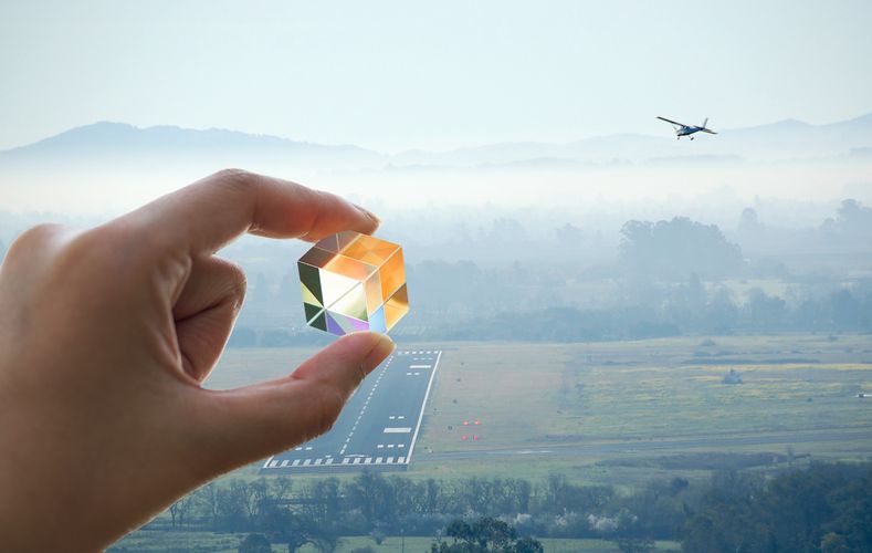
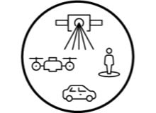
Ultra-high-precision maps and 3D environment models for simulation, testing and validation of driving functions and sensor technology.
Modern data management in the arts and culture sector with our DIGITAL.culture products: software and databases for museums, archives and libraries.
Automatic continuous measurement of precipitation particles
Digital maps for assessing the condition of roads and planning maintenance work.
Combination of high-precision 3D laser scans with measurement images of the surroundings taken from the air, on the vehicle or on foot.
Automatic tracking and focussing of large satellite reception systems.
Automated measurement of surface deformations at millimetre range based on radar satellite images
Kostengünstiger Scanner zur hochgenauen 3D-Rekonstruktion und Ableitung des entsprechenden CAD-Modells für eine präzise Produktionsplanung.
JOANNEUM RESEARCH provides innovation and technology services in the field of applied research. As a research company working on behalf of various federal provinces and regions in Austria, our expertise shapes the development of our modern society and economy – sustainably, and always with a focus on people. As a multidisciplinary team working in a flexible set-up that fosters innovation, we always live up to the highest social and scientific standards.