- About us
- Research fields
- DIGITAL – Institut für Digitale Technologien
- MATERIALS – Institut für Sensorik, Photonik und Fertigungstechnologien
- ROBOTICS – Institut für Robotik und Flexible Produktion
- COREMED – Zentrum für Regenerative Medizin und Präzisionsmedizin
- HEALTH – Institut für Biomedizinische Forschung und Technologien
- LIFE – Institut für Klima, Energiesysteme und Gesellschaft
- POLICIES – Institut für Wirtschafts-, Sozial und Innovationsforschung
- Business areas
- Products & services
- Research infrastructure
- Beteiligungen
- Career
- Aktuelles
- Publications
- Kontakt zu uns


MeadowTypes
RUNNING TIME:
11/2021
—
08/2023
Total project duration:
2 Years
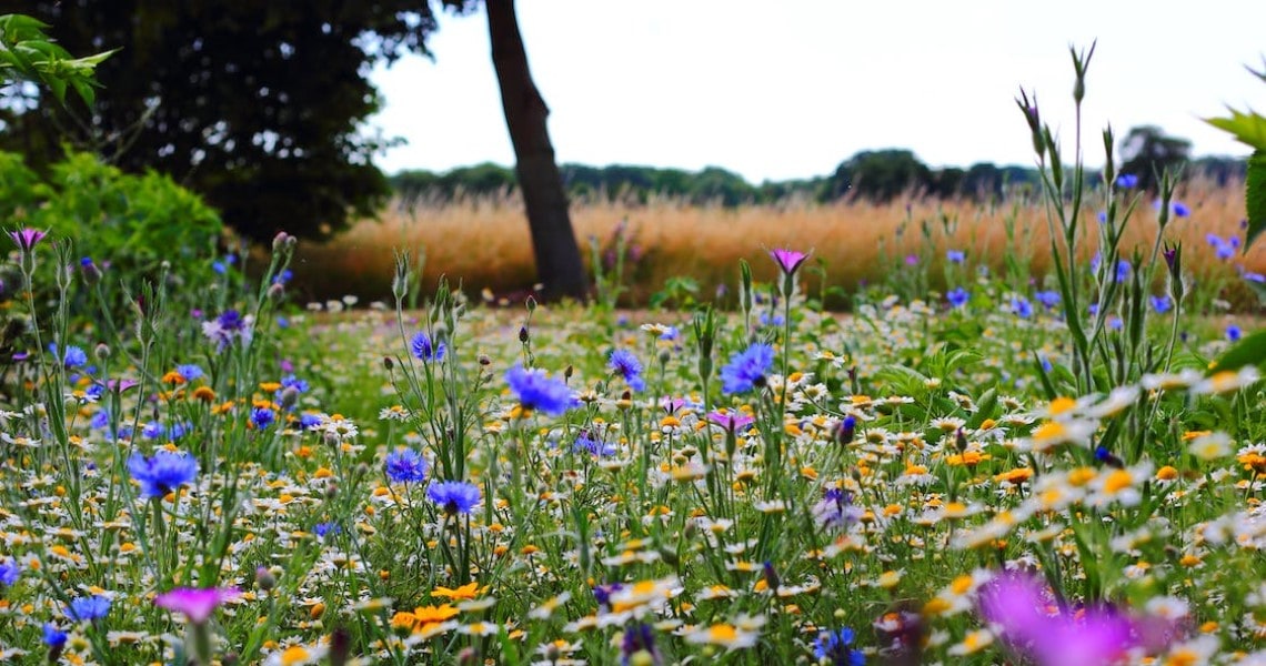
Pexel: Freddie Ramm
The project
MeadowTypes provides a basis for assessing the condition, ecological value and economic benefits of grassland areas. The results provide valuable insights into the diversity of meadows and their importance for the environment, agriculture and society as a whole.
Our activities in the project
The tasks of JR in this project range from the preparation of the data basis to the classification of the meadow types and the validation of the results. The focus is on the automated identification and classification of meadow types through the use of satellite data and supplementary geographical information.

Research groups
Downloads
Customers
Bundesministerium für Land- und Forstwirtschaft, Regionen und Wasserwirtschaft (BML)
vertreten durch die Österreichische Forschungsförderungsgesellschaft mbH (FFG)
Project partners
Raumberg-Gumpenstein Research & Development
Höhere Bundeslehr- und Forschungsanstalt (HBLFA) Raumberg-Gumpenstein
Project details
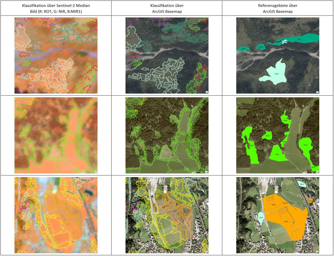
The MeadowTypes project developed an effective method for classifying meadow types using remote sensing data. To do so, a suitable classification scheme was first created on the basis of soil information and management intensity. This scheme was expanded and applied to 216 extensively and 183 intensively farmed sites by experts from HBLFA Raumberg-Gumpenstein and the nature conservation authority for field observations.
At the same time, a software toolbox was developed to enable automated data preparation and classification. In this toolbox, existing workflows were optimised to make the processing of Sentinel-2 satellite data more efficient. This included steps such as the precise alignment of the images, adjustment to the terrain, atmospheric correction and the removal of disruptive elements such as clouds and shadows.
Additional information was prepared to improve the classification of the meadow types. This included terrain heights and structures from the digital terrain model (DTM), a geological map, soil maps and information on land use and climate. This data served as important input parameters to increase the accuracy of the classification.
The actual classification was carried out using a model based on machine learning. Spectral information from the Sentinel-2 satellite data was used. In addition, rules and methods were introduced to minimise potential sources of error. The resulting model enabled the detailed classification of meadow types on different grassland areas at a scale of 1:50000.
An initial classification achieved an overall accuracy of 66%, with additional steps being taken to improve accuracy. By analysing plausibility and integrating further information, the accuracy was increased to 80 %. Even higher accuracies were possible for specific properties such as moisture levels (86%) and agricultural intensity (87%).
The gradual improvement in accuracy demonstrates the success of the methods used and the importance of additional information for more precise classification results. This project provides a valuable basis for the identification and monitoring of meadow types in different landscapes and can be of great use in environmental monitoring and conservation.
Funding organisation
Projektbeteiligte
Related projects
SHAPING THE FUTURE, TOGETHER
JOANNEUM RESEARCH provides innovation and technology services in the field of applied research. As a research company working on behalf of various federal provinces and regions in Austria, our expertise shapes the development of our modern society and economy – sustainably, and always with a focus on people. As a multidisciplinary team working in a flexible set-up that fosters innovation, we always live up to the highest social and scientific standards.