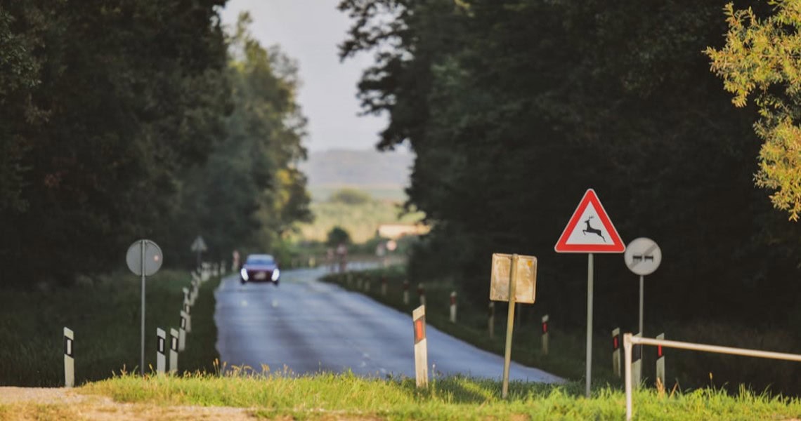
There are currently around 300 wildlife accidents involving personal injury throughout Austria each year, with around 330 people injured and 1-2 killed. According to Statistics Austria, around 77,000 wild animals are killed in road traffic each year ("roadkill"). The aim of the project is to analyse high-risk sections of the road network where wildlife accidents occur more frequently, based on satellite image data. Dangerous sections are to be modelled spatially and temporally using a variety of different data sources, primarily satellite-based but also using data collected or available on the roadside, such as traffic volumes, speed levels, accident frequencies and road alignment parameters as well as accident-relevant habitat data. A data fusion to be implemented in this project is intended to generate added value from the earth observation data in order to obtain the best possible data-based understanding of wildlife accidents before they happen. The results are to be made available to various user groups (e.g. infrastructure operators, vehicle drivers), whereby integration into various applications is planned, ranging from navigation apps to comprehensive map-based visualisation of hazard zones. As a result of the project, a prototypical risk map of a region is to be modelled primarily on the basis of satellite image data and made available as a web-based service in order to better analyse wildlife accidents statistically and to be able to better show causal relationships between possible influencing factors and the occurrence of wildlife accidents in terms of space and time.