The loss of biodiversity, on which we all depend, is progressing faster than ever. In the context of the European Green Deal and the UN Convention on Biological Diversity, one of the central contents of the EU Biodiversity Strategy 2030 is the creation of an EU-wide plan for the restoration of nature. As part of this plan, legally binding targets for nature restoration have been formulated by the European Commission. In the future, the Länder will therefore have to report accordingly on the measures, implementations and achievement of these legally binding targets. These reports require a quantitative and transparent, legally recognised monitoring system that provides reliable information on the status of biodiversity and is able to relieve the competent public authorities of their monitoring obligations.
Monitoring is currently only available on a random basis, which is not sufficient for the evaluation of local restoration projects. Furthermore, such sampling in the field is associated with high costs and time, which stands in the way of frequent updating and thus the provision of up-to-date information. RestorEO aims to fill this gap by combining existing fieldwork with Copernicus and other remote sensing data to develop large-scale and quantitative monitoring of the degradation status and integrity of key ecosystems.
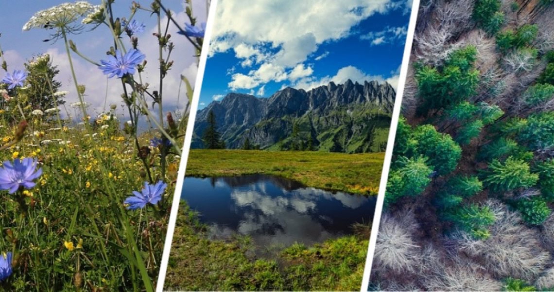
For the development and creation of a first prototype, three ecosystems were selected to be treated in RestorEO : forest, wetlands and grassland-dominated cultural landscapes.
For all ecosystems, it is important to map changes in vegetation and land use spatially explicitly and as quickly as possible. The overall goal is to support public administration at all levels with robust data and information in reporting. Due to the spatially differentiated results, local stakeholders such as national park managers, nature conservation authorities or similar can also benefit from the results, as targeted measures can be initiated on site on the basis of the area-wide information provided by the monitoring system.