

Heavy rainfall, waterlogged soil and landslides are becoming an increasingly frequent problem in Austria. Within a matter of hours, roads can become impassable, rail services can be disrupted or settlements can be put at risk. A look back at history shows just how severe the consequences of such extreme events can be: following several days of heavy rainfall in 2009, more than 3,000 landslides and debris flows were recorded in the Feldbach area. (Source: ORF Steiermark, accessed on 3 September 2026) During the heavy rainfall event in August 2023, 935 landslides were reported in Styria; the regional government allocated 12.1 million euros for emergency measures to repair the damage alone. (Sources: ORF Styria and Province of Styria, accessed on 3 September 2026) Although existing hazard maps show where landslides are generally possible, they take little account of the current weather situation.
This is precisely where the research project ALaDyn – Assessment of Landslide Risk in Dynamic Environments comes in. In collaboration with the Institute of Geography and Spatial Research at the University of Graz and Lugitsch & Partner Ziviltechniker GmbH, the research team led by Margit Kurka is developing dynamic models that combine weather forecasts, remote sensing data and geological information. The aim is to support public authorities, infrastructure operators and spatial planners in future by providing a more precise basis for decision-making when assessing landslide risks.
“Up to now, we have mostly been working with static hazard maps. These show where landslides are generally likely to occur. In the ALaDyn project, we are now, for the first time, looking into the question of when and where the risk is particularly high,” explains project leader Margit Kurka, Senior Scientist and Head of the Geology and Natural Hazards Division at JOANNEUM RESEARCH DIGITAL.
This is based on historical landslide events, weather data, satellite information, and geomorphological and topographical data. This results in dynamic hazard maps, in which the hazard assessment is updated with every new weather forecast. This approach will be expanded in future projects.
A digital twin for natural hazards
The AlaDyn research project assesses landslide risk by taking precipitation events into account; the project forms part of the Austrian ‘Digital Twin Austria’ initiative. To this end, weather forecasts from the European Centre for Medium-Range Weather Forecasts (ECMWF) are linked with terrain models, geological data, land-use information and other geodata. This produces a continuously updated picture of the current landslide risk.
A prototype rather than an early warning system
By the end of 2026, a web application (app) will be developed to visualise the current level of risk in the project area. This is a research prototype and not yet an operational early-warning system. Local authorities, civil protection agencies, the State Geological Survey, road authorities and infrastructure operators such as the ÖBB are being involved right from the development stage. Workshops and interviews ensure that the application is tailored to actual information needs. “A dynamic map can better support decision-making because it not only shows the underlying risk but also takes the current weather conditions into account. However, the quality of the data remains crucial – and, in particular, accurate documentation of when and where landslides have actually occurred,” says Kurka.
Research into adapting to climate change
With climate change, intense rainfall events are tending to increase. Heavy rain can saturate the ground within a short space of time, thereby increasing the risk of landslides. However, whether a slope actually starts to move also depends on its geological composition, soil moisture, vegetation, land use and many other factors.
“Climate change does not necessarily alter our modelling methods, but it does affect the training data we work with. This, in turn, changes the results. That is precisely why we need models that can continuously incorporate the latest information,” said Kurka.
In the long term, the methods developed are also to be applied to other natural hazards, such as rockfalls or deep-seated slope movements. At the same time, the research team is already working on new projects which will also investigate high-resolution weather data, soil moisture, the extent of landslides and AI-supported modelling approaches.
Interdisciplinary team
The ALaDyn project brings together expertise in geology, remote sensing, geoinformatics and software development. The project team at JOANNEUM RESEARCH DIGITAL consists of:
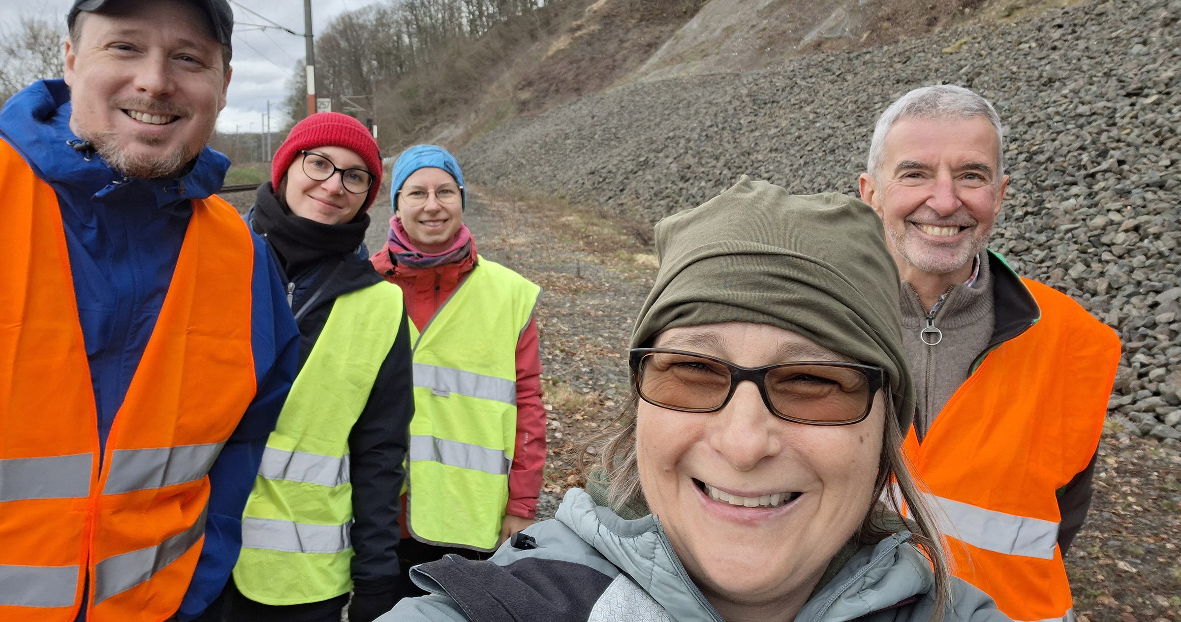
Margit Kurka (Project Manager, geologist and expert in natural hazards), Hanna Bambizava (geography, programming and software development), Lena Werber (geology), Robert Hairston-Porter (geology, geodata analysis and remote sensing), Andreas Wimmer (software development) and consultant Herwig Proske.
Facts
- Project: ALADYN – Assessment of Landslide Risk in Dynamic Environments
- Duration: January 2025 to June 2027
- Led by: JOANNEUM RESEARCH DIGITAL, Margit Kurka
- Partner: Universität Graz; Lugitsch & Partner Ziviltechniker GmbH
- Funding: Austrian Research Promotion Agency (FFG)
- Region: Südsteiermark / Südoststeiermark
- Participants: Department of Geography and Spatial Research at the University of Graz: Manuela Hirschmugl, Christian Bauer, Lisa Bieringer
- Participants: Lugitsch und Partner: Christoph König and Andrea Rohla
About Margit Kurka
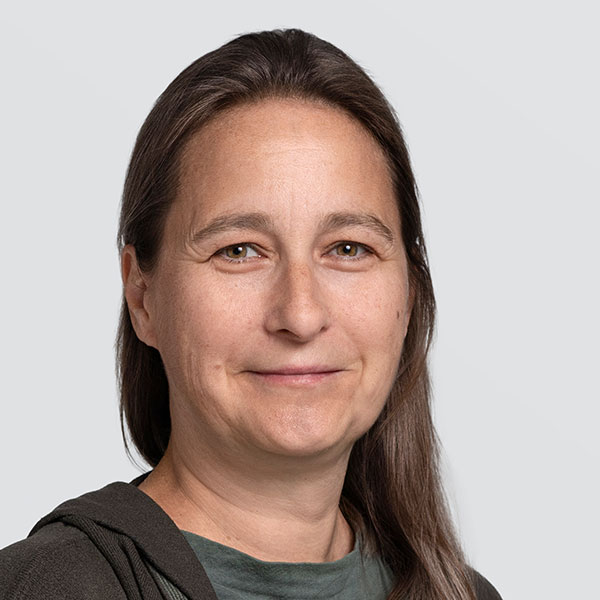
Margit Kurka has been heading the Geology and Natural Hazards division at JOANNEUM RESEARCH DIGITAL since March 2025, taking over from Herwig Proske. A technical geologist, she studied at the University of Vienna and completed a Master’s degree in Geographic Information Science and Systems at the University of Salzburg, specialising in remote sensing and InSAR analysis. Her professional career initially took her to the USA for eight years, where she worked on major infrastructure projects as well as on geotechnical and forensic issues. After returning to Austria, she worked as an engineering geologist, consultant and entrepreneur, and subsequently conducted research at the University of Graz on natural hazards and artificial intelligence. Today, she combines her many years of practical experience in engineering geology with research into remote sensing, digital twins and the modelling of natural hazards.