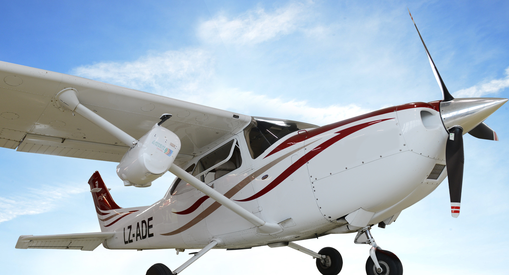
ADAM, the mobile and flexible remote sensing platform can be mounted by a single person in one hour on a rented aircraft. This makes ADAM a fast and cheap solution for world-wide remote sensing activities.
Aerial Mapping
- Mobile and flexible remote sensing platform ADAM
- Suitcase solution for world-wide use
- Certified and available for Cessna 182, 182T, 182S and T182T
Software
- DSM/DTM and ortho-photo production with RSG-Photo
- Multi-sensor image stacks with RSG-Photo
- Forest and infrastructure monitoring with IMPACT-LIDAR
Services
- Customized data processing solutions for value adding suppliers
- Consulting & research at the highest possible methodological level